|
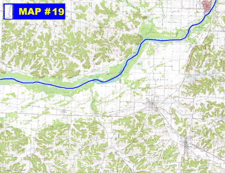
WISCONSIN RIVER CENTENNIAL TRAIL MAP #19 Lower Wisconsin State Riverway (LWSR) |
WVIC was not allowed to place any Wisconsin River Centennial Trail mile marker signs in the LWSR.
|
 |
|
- General Description - Flow Information - For flow information on river flow below Prairie du Sac go to https://www.alliantenergy.com/SaveEnergyAndMoney/RenewableEnergy/FlowRate/index.htm and for flow information on river flow near Muscoda go to http://waterdata.usgs.gov/wi/nwis/uv/?site_no=05407000&PARAmeter_cd=00065,00060. |
 |